RESEARCH GROUP
GEOINFORMATICS & EARTH OBSERVATION

RESEARCH GROUP
GEOINFORMATICS & EARTH OBSERVATION
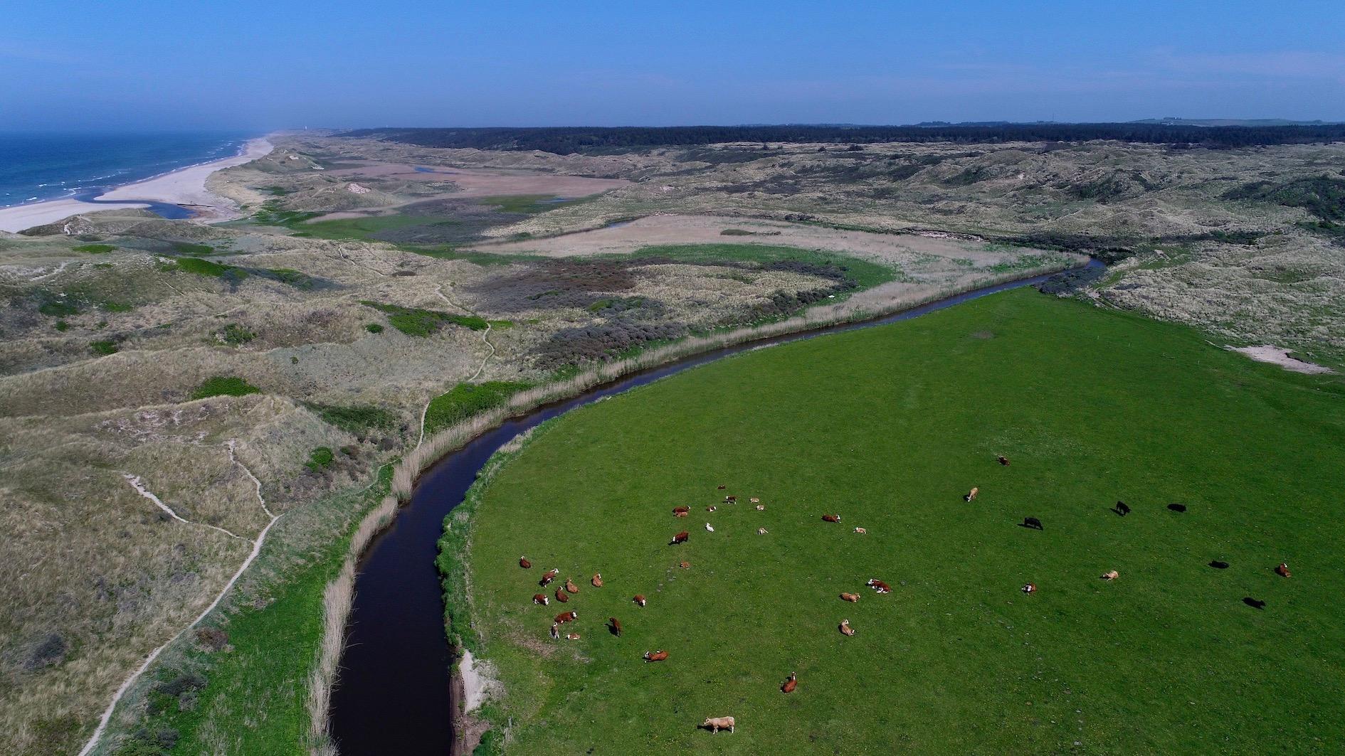
The Geoinformatics and Earth Observation research group deals with the development and application of methods from Geographical Information Science (GISc) and Remote Sensing, Spatial Data Infrastructure (SDI), Spatial Decision Support Systems, Citizen Science, and Artificial Intelligence (AI) in an interdisciplinary setting to study the spatio-temporal phenomena and processes driving changes in terrestrial and marine environments.
Research within the group concentrates on the development of analytical tools and methodological approaches to address environmental and societal challenges and sustainable development. This includes developing geocomputational approaches for urban environments, demographic and migration analysis, public health studies, analysing marine ecosystems, climate change impact assessment along with adaptation and mitigation solutions, wildfires susceptibility modelling, flood modelling, coastal zones management, renewable energies, as well as studying land use/cover changes using remote sensing. The geographical scale of research ranges from local to global studies with a particular focus on pan-European studies.
The group contributes to addressing the UN’s Sustainable Development Goals through providing open-source tools, data, and approaches for monitoring the associated SDGs’ indicators.
Education
Study related activities
- TECH Talents coordination Cph.
- GNSS positioning and reference frame teaching related to Galileo
- Chartered surveyors
- Urban planning, land management, sustainable mobilities, practice research
- Geocomputational tools/models
Collaboration
Who benefits from our research
Most of our research is funded by the EU with an international scope. Besides the EC, the users are environmental analysts, practitioners, and decision/policy makers aiming at addressing societal challenges (SDGs).
External partners
SDFE, DMI, NIRAS, Geoforum, Nordregio, IIASA, PIK, IOW, Turku University, Oldenburg University, GST, DHI Gras, DTU, Aarhus University, Hermes Traffic Intelligence. RUC, University of South Australia, University of Nürtingen/Geislingen, Copenhagen municipality, By og Havn, Lets’go, Bycyklen (citybikes), travelplanner.dk, Danish Surveying companies e.g. LE34, Danish Association of chartered Surveyors.


We teach the following
Programmes
We have the following members